চিত্র:Willow Creek, Trout Creek Mountains, Oregon.jpg

এই প্রাকদর্শনের আকার: ৪০৩ × ৫৯৯ পিক্সেল। অন্যান্য আকারসমূহ: ১৬১ × ২৪০ পিক্সেল | ৩২৩ × ৪৮০ পিক্সেল | ৫১৭ × ৭৬৮ পিক্সেল | ৬৮৯ × ১,০২৪ পিক্সেল | ১,২৯৬ × ১,৯২৬ পিক্সেল।
পূর্ণ রেজোলিউশন (১,২৯৬ × ১,৯২৬ পিক্সেল, ফাইলের আকার: ৯০১ কিলোবাইট, এমআইএমই ধরন: image/jpeg)
| এই ফাইলটি উইকিমিডিয়া কমন্স থেকে নেওয়া। সেখানের বর্ণনা পাতার বিস্তারিত নিম্নে দেখানো হলো। (সম্পাদনা)
|
সারাংশ
| বিবরণ |
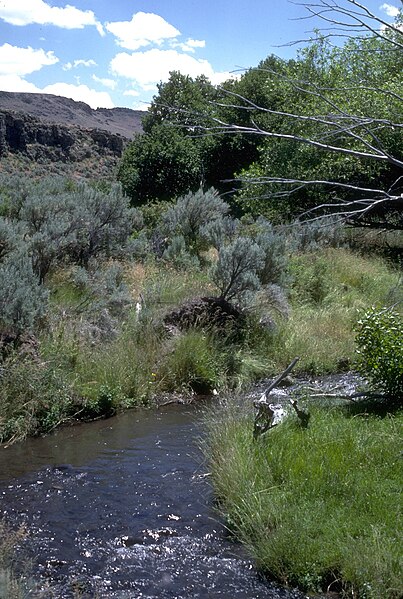
English: Riparian zone along Willow Creek in the Trout Creek Mountains, part of the Burns Bureau of Land Management District in southeastern Oregon |
| তারিখ | অজানা তারিখ; uploaded 25 April 2009 |
| উৎস | http://www.blm.gov/wo/st/en/bpd.html (select "Oregon" then search "Willow Creek") |
| লেখক | Bureau of Land Management |
লাইসেন্স প্রদান
| This image is a work of a Bureau of Land Management* employee, taken or made as part of that person's official duties. As a work of the U.S. federal government, the image is in the public domain in the United States. *or predecessor organization |
ফাইলের ইতিহাস
যেকোনো তারিখ/সময়ে ক্লিক করে দেখুন ফাইলটি তখন কী অবস্থায় ছিল।
| তারিখ/সময় | সংক্ষেপচিত্র | মাত্রা | ব্যবহারকারী | মন্তব্য | |
|---|---|---|---|---|---|
| বর্তমান | ০১:০৭, ২৬ এপ্রিল ২০০৯ | | ১,২৯৬ × ১,৯২৬ (৯০১ কিলোবাইট) | Jake Wartenberg | crop |
| ১৭:৫৮, ২৫ এপ্রিল ২০০৯ |  | ১,৩৪৪ × ২,০১৬ (১.১ মেগাবাইট) | Orygun | {{Information |Description={{en|1=Riparian zone along Trout Creek in the Trout Creek Mountains; part of the Burns Bureau of Land Management District in southeastern Oregon}} |Source=http://www.blm.gov/wo/st/en/bpd.html (select "Oregon" then search "Willow |
সংযোগসমূহ
নিচের পৃষ্ঠা(গুলো) থেকে এই ছবিতে সংযোগ আছে:
ফাইলের বৈশ্বিক ব্যবহার
নিচের অন্যান্য উইকিগুলো এই ফাইলটি ব্যবহার করে:
- bs.wikipedia.org-এ ব্যবহার
- ca.wikipedia.org-এ ব্যবহার
- en.wikipedia.org-এ ব্যবহার
- es.wikipedia.org-এ ব্যবহার
- fa.wikipedia.org-এ ব্যবহার
- nl.wikipedia.org-এ ব্যবহার
- ru.wikipedia.org-এ ব্যবহার
- uk.wikipedia.org-এ ব্যবহার