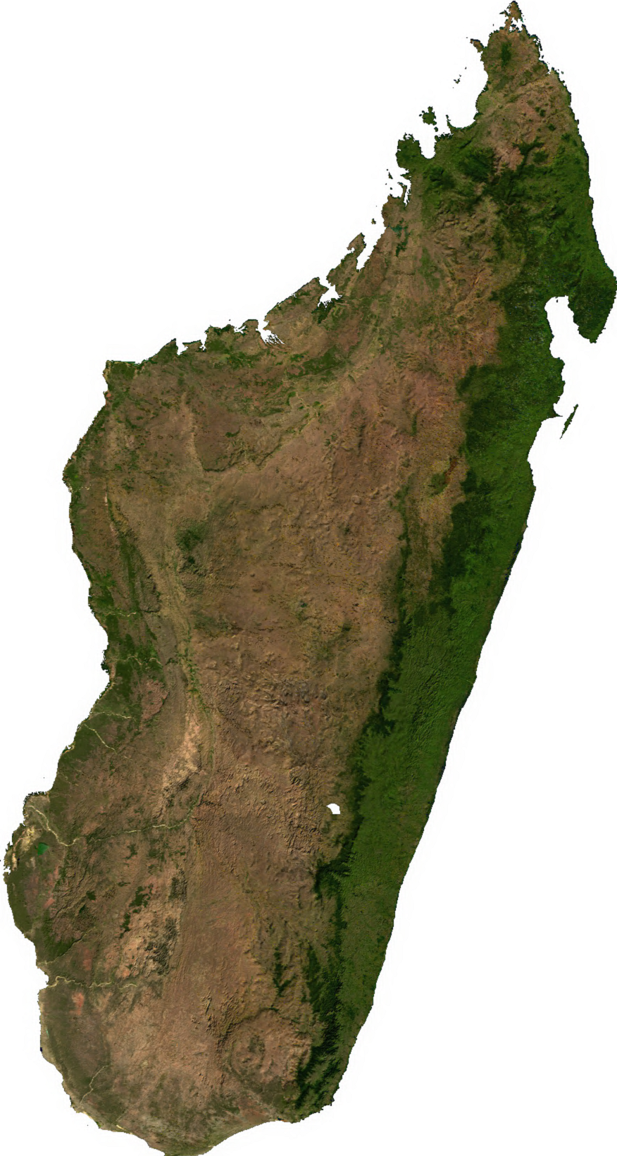
চিত্র:Madagascar sat.png
এই প্রাকদর্শনের আকার: ৩২০ × ৫৯৯ পিক্সেল। অন্যান্য আকারসমূহ: ২৫৬ × ৪৮০ পিক্সেল | ৮৭৬ × ১,৬৪০ পিক্সেল।
পূর্ণ রেজোলিউশন (৮৭৬ × ১,৬৪০ পিক্সেল, ফাইলের আকার: ১.৪৫ মেগাবাইট, এমআইএমই ধরন: image/png)
| এই ফাইলটি উইকিমিডিয়া কমন্স থেকে নেওয়া। সেখানের বর্ণনা পাতার বিস্তারিত নিম্নে দেখানো হলো। (সম্পাদনা)
|
সারাংশ
| বিবরণ | |
| তারিখ | অজানা তারিখ |
| উৎস | Generated using free sources available at The Map Library |
| লেখক |
লাইসেন্স প্রদান
| This file is in the public domain, because it was generated by a user, using free sources available at The Map Library.
Note that this does not include the maps in the Global Administrative Areas section of the homepage. |
ফাইলের ইতিহাস
যেকোনো তারিখ/সময়ে ক্লিক করে দেখুন ফাইলটি তখন কী অবস্থায় ছিল।
| তারিখ/সময় | সংক্ষেপচিত্র | মাত্রা | ব্যবহারকারী | মন্তব্য | |
|---|---|---|---|---|---|
| বর্তমান | ০২:৩১, ১৪ জুলাই ২০০৬ | | ৮৭৬ × ১,৬৪০ (১.৪৫ মেগাবাইট) | Unquietwiki | ECW to TIFF to PNG (compression level 9). {{PD-MapLibrary}} |
সংযোগসমূহ
নিচের পৃষ্ঠা(গুলো) থেকে এই ছবিতে সংযোগ আছে:
ফাইলের বৈশ্বিক ব্যবহার
নিচের অন্যান্য উইকিগুলো এই ফাইলটি ব্যবহার করে:
- ar.wikipedia.org-এ ব্যবহার
- ast.wikipedia.org-এ ব্যবহার
- bcl.wikipedia.org-এ ব্যবহার
- bg.wikipedia.org-এ ব্যবহার
- en.wikipedia.org-এ ব্যবহার
- fr.wikipedia.org-এ ব্যবহার
- it.wikipedia.org-এ ব্যবহার
- ka.wikipedia.org-এ ব্যবহার
- lt.wikipedia.org-এ ব্যবহার
- mg.wikipedia.org-এ ব্যবহার
- my.wikipedia.org-এ ব্যবহার
- pnb.wikipedia.org-এ ব্যবহার
- pt.wikipedia.org-এ ব্যবহার
- ro.wikipedia.org-এ ব্যবহার
- sl.wikipedia.org-এ ব্যবহার
- th.wikipedia.org-এ ব্যবহার
- tl.wikipedia.org-এ ব্যবহার
- uk.wikipedia.org-এ ব্যবহার
- ur.wikipedia.org-এ ব্যবহার
- vec.wikipedia.org-এ ব্যবহার
- vi.wikipedia.org-এ ব্যবহার
- www.wikidata.org-এ ব্যবহার
- yo.wikipedia.org-এ ব্যবহার
- zh-yue.wikipedia.org-এ ব্যবহার
- zh.wikipedia.org-এ ব্যবহার