চিত্র:EU location NED.png
এই প্রাকদর্শনের আকার: ৮০০ × ৬০০ পিক্সেল। অন্যান্য আকারসমূহ: ৩২০ × ২৪০ পিক্সেল | ৬৪০ × ৪৮০ পিক্সেল | ১,০২৪ × ৭৬৮ পিক্সেল | ১,২৮০ × ৯৬০ পিক্সেল | ১,৬০০ × ১,২০০ পিক্সেল।
পূর্ণ রেজোলিউশন (১,৬০০ × ১,২০০ পিক্সেল, ফাইলের আকার: ৪৬৯ কিলোবাইট, এমআইএমই ধরন: image/png)
| এই ফাইলটি উইকিমিডিয়া কমন্স থেকে নেওয়া। সেখানের বর্ণনা পাতার বিস্তারিত নিম্নে দেখানো হলো। (সম্পাদনা)
|

|
This locator map image could be re-created using vector graphics as an SVG file. This has several advantages; see Commons:Media for cleanup for more information. If an SVG form of this image is available, please upload it and afterwards replace this template with
{{vector version available|new image name}}.
It is recommended to name the SVG file “EU location NED.svg”—then the template Vector version available (or Vva) does not need the new image name parameter. |
| বিবরণ |
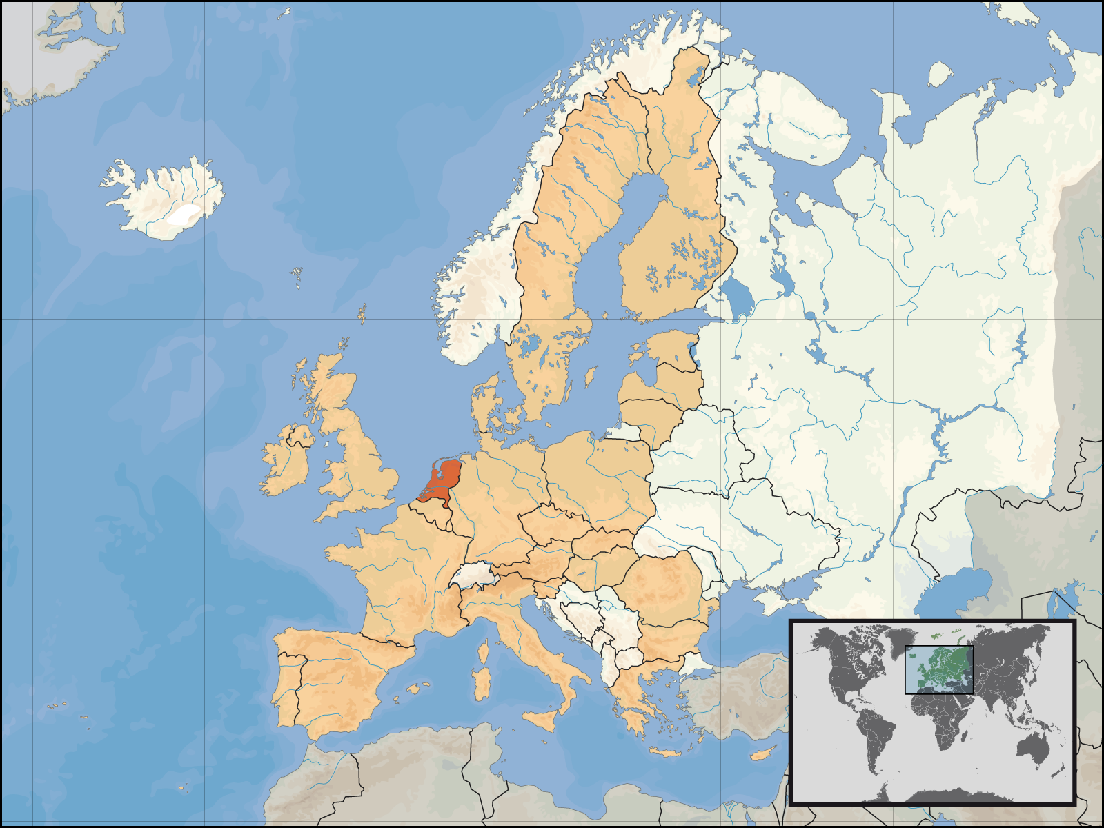
English: Location of the Netherlands within Europe and the European Union on the 1st of January 2007.
Deutsch: Lage des Königreichs der Niederlande in Europa und in der Europäischen Union am 1. Januar 2007 |
| তারিখ | |
| উৎস | নিজের কাজ |
| লেখক | David Liuzzo |
| অনুমতি (এ ফাইলের পুনঃব্যবহার) |
এই ফাইলটি ক্রিয়েটিভ কমন্স অ্যাট্রিবিউশন-শেয়ার অ্যালাইক ৪.০ আন্তর্জাতিক লাইসেন্সের আওতায় লাইসেন্সকৃত। স্বীকৃতিপ্রদান: David Liuzzo
|
ফাইলের ইতিহাস
যেকোনো তারিখ/সময়ে ক্লিক করে দেখুন ফাইলটি তখন কী অবস্থায় ছিল।
| তারিখ/সময় | সংক্ষেপচিত্র | মাত্রা | ব্যবহারকারী | মন্তব্য | |
|---|---|---|---|---|---|
| বর্তমান | ২০:৪৭, ৮ মে ২০০৭ | | ১,৬০০ × ১,২০০ (৪৬৯ কিলোবাইট) | Tene~commonswiki | Optimised further using DeflOpt (0;4096) |
| ১৯:০৯, ২৩ ফেব্রুয়ারি ২০০৭ |  | ১,৬০০ × ১,২০০ (৫২৬ কিলোবাইট) | Tene~commonswiki | Optimised (0) | |
| ০২:৫৩, ১ জানুয়ারি ২০০৭ |  | ১,৬০০ × ১,২০০ (৭১১ কিলোবাইট) | David Liuzzo | {{Information| |Description= {{de|Lage des Königreichs der Niederlande in Europa und in der Europäischen Union am 1. Januar 2007 }} {{en|Location of the Netherlands within Europe and |
সংযোগসমূহ
নিচের পৃষ্ঠা(গুলো) থেকে এই ছবিতে সংযোগ আছে:
ফাইলের বৈশ্বিক ব্যবহার
নিচের অন্যান্য উইকিগুলো এই ফাইলটি ব্যবহার করে:
- as.wikipedia.org-এ ব্যবহার
- av.wikipedia.org-এ ব্যবহার
- ay.wikipedia.org-এ ব্যবহার
- bh.wikipedia.org-এ ব্যবহার
- crh.wikipedia.org-এ ব্যবহার
- da.wikipedia.org-এ ব্যবহার
- de.wiktionary.org-এ ব্যবহার
- dv.wikipedia.org-এ ব্যবহার
- dz.wikipedia.org-এ ব্যবহার
- en.wikipedia.org-এ ব্যবহার
- eu.wikipedia.org-এ ব্যবহার
- fa.wikipedia.org-এ ব্যবহার
- fo.wikipedia.org-এ ব্যবহার
- fr.wikipedia.org-এ ব্যবহার
- fur.wikipedia.org-এ ব্যবহার
- incubator.wikimedia.org-এ ব্যবহার
- it.wiktionary.org-এ ব্যবহার
- kg.wikipedia.org-এ ব্যবহার
- kn.wikipedia.org-এ ব্যবহার
- kv.wikipedia.org-এ ব্যবহার
- ln.wikipedia.org-এ ব্যবহার
- mai.wikipedia.org-এ ব্যবহার
- mdf.wikipedia.org-এ ব্যবহার
- mhr.wikipedia.org-এ ব্যবহার
- mk.wikipedia.org-এ ব্যবহার
- ml.wikipedia.org-এ ব্যবহার
- ms.wikipedia.org-এ ব্যবহার
- nap.wikipedia.org-এ ব্যবহার
- ne.wikipedia.org-এ ব্যবহার
এই ফাইলের অন্যান্য বৈশ্বিক ব্যবহার দেখুন।