চিত্র:Bristol UK location map.svg

এই SVG ফাইলের জন্য এই PNG প্রাকদর্শনের আকার: ৫৩৯ × ৬০০ পিক্সেল। অন্যান্য আকারসমূহ: ২১৬ × ২৪০ পিক্সেল | ৪৩১ × ৪৮০ পিক্সেল | ৬৯০ × ৭৬৮ পিক্সেল | ৯২০ × ১,০২৪ পিক্সেল | ১,৮৪১ × ২,০৪৮ পিক্সেল | ১,১৩৮ × ১,২৬৬ পিক্সেল।
পূর্ণ রেজোলিউশন (এসভিজি ফাইল, সাধারণত ১,১৩৮ × ১,২৬৬ পিক্সেল, ফাইলের আকার: ৬৮৩ কিলোবাইট)
| এই ফাইলটি উইকিমিডিয়া কমন্স থেকে নেওয়া। সেখানের বর্ণনা পাতার বিস্তারিত নিম্নে দেখানো হলো। (সম্পাদনা)
|
| বিবরণ |
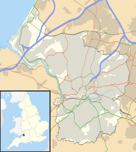
Map of Bristol, UK with the following information shown:
Equirectangular map projection on WGS 84 datum, with N/S stretched 160% Geographic limits:
|
| তারিখ | |
| উৎস |
|
| লেখক | Nilfanion, created using Ordnance Survey data |
| অনুমতি (এ ফাইলের পুনঃব্যবহার) |
এই ফাইলটি ক্রিয়েটিভ কমন্স অ্যাট্রিবিউশন-শেয়ার অ্যালাইক ৩.০ আনপোর্টেড লাইসেন্সের আওতায় লাইসেন্সকৃত। স্বীকৃতিপ্রদান: Contains Ordnance Survey data © Crown copyright and database right
|
| অন্যান্য সংস্করণ | File:Bristol UK district map (blank).svg - Blank map |
.svg)
ফাইলের ইতিহাস
যেকোনো তারিখ/সময়ে ক্লিক করে দেখুন ফাইলটি তখন কী অবস্থায় ছিল।
| তারিখ/সময় | সংক্ষেপচিত্র | মাত্রা | ব্যবহারকারী | মন্তব্য | |
|---|---|---|---|---|---|
| বর্তমান | ১৭:৫৮, ২৬ সেপ্টেম্বর ২০১০ | | ১,১৩৮ × ১,২৬৬ (৬৮৩ কিলোবাইট) | Nilfanion | {{Information |Description=Map of Bristol, UK with the following information shown: *Administrative borders *Coastline, lakes and rivers *Roads and railways *Urban areas Equirectangular map projection on WGS 84 datum, with N/S stretched 160 |
সংযোগসমূহ
নিচের পৃষ্ঠা(গুলো) থেকে এই ছবিতে সংযোগ আছে:
ফাইলের বৈশ্বিক ব্যবহার
নিচের অন্যান্য উইকিগুলো এই ফাইলটি ব্যবহার করে:
- ar.wikipedia.org-এ ব্যবহার
- ceb.wikipedia.org-এ ব্যবহার
- el.wikipedia.org-এ ব্যবহার
- en.wikipedia.org-এ ব্যবহার
- Clifton Suspension Bridge
- St Mary Redcliffe
- Bristol Cathedral
- Clifton Cathedral
- Avonmouth
- Catbrain
- Bristol Old Vic Theatre School
- St Werburghs
- Clifton Down
- Durdham Down
- The Downs, Bristol
- Avon Gorge
- We the Curious
- Bristol Museum & Art Gallery
- Arnolfini, Bristol
- Snuff Mills
- Bristol Industrial Museum
- Llandoger Trow
- St Pauls, Bristol
- Stapleton, Bristol
- Brislington
- Knowle West
- Totterdown
- Blaise Castle Estate
- Blaise Hamlet
- Fishponds
- St Matthias, Bristol
- Glenside, Bristol
- Shirehampton
- Tobacco Factory
- Spike Island, Bristol
- Avonmouth Bridge
- Eastville Stadium
- The Chessels
- British Empire and Commonwealth Museum
- Lawrence Weston, Bristol
- St Brendan's Sixth Form College
- Purdown BT Tower
- Westbury College Gatehouse
- The Old Duke
- Cabot Tower, Bristol
- Wills Hall
- Southmead Hospital
- Bristol Royal Infirmary
- Brentry
- Pen Park Hole
এই ফাইলের অন্যান্য বৈশ্বিক ব্যবহার দেখুন।