চিত্র:Blankmap-ao-090S-south pole.png

এই প্রাকদর্শনের আকার: ৬০০ × ৬০০ পিক্সেল। অন্যান্য আকারসমূহ: ২৪০ × ২৪০ পিক্সেল | ৪৮০ × ৪৮০ পিক্সেল | ৭২৬ × ৭২৬ পিক্সেল।
পূর্ণ রেজোলিউশন (৭২৬ × ৭২৬ পিক্সেল, ফাইলের আকার: ৯ কিলোবাইট, এমআইএমই ধরন: image/png)
| এই ফাইলটি উইকিমিডিয়া কমন্স থেকে নেওয়া। সেখানের বর্ণনা পাতার বিস্তারিত নিম্নে দেখানো হলো। (সম্পাদনা)
|

|
This locator map image could be re-created using vector graphics as an SVG file. This has several advantages; see Commons:Media for cleanup for more information. If an SVG form of this image is available, please upload it and afterwards replace this template with
{{vector version available|new image name}}.
It is recommended to name the SVG file “Blankmap-ao-090S-south pole.svg”—then the template Vector version available (or Vva) does not need the new image name parameter. |
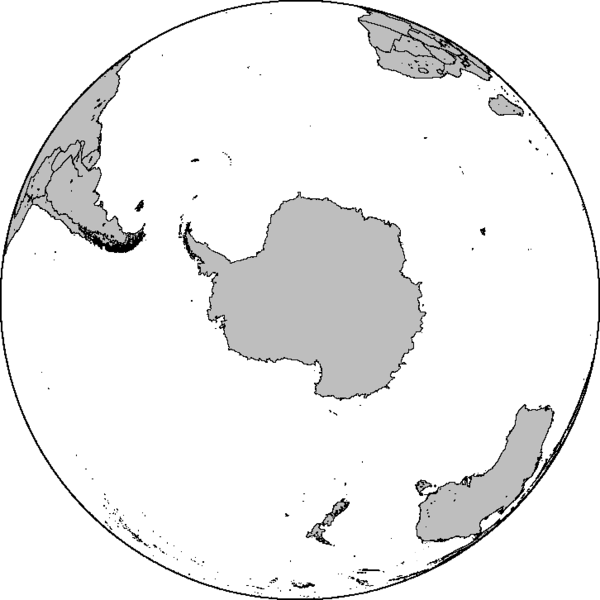
Azimuthal orthographic map projection of coords 90°S/0°.
See Image:Blankmap-ao-090S-south pole.xcf for an XCF file with separate layers for water, land, coastlines, political borders, political borders over water (not shown), and latitude & longitude gridlines (not shown).
Created by User:Reisio with GMT.
Reisio, এই কাজের স্বত্বাধিকারী, এতদ্দ্বারা এই কাজকে নিম্ন বর্ণিত লাইসেন্সের আওতায় প্রকাশিত করেছেন:
| আমি, এই কাজের স্বত্বাধিকারী, এতদ্দ্বারা আমি এই কাজকে পাবলিক ডোমেইন লাইসেন্সের আওতায় প্রকাশ করলাম। এটি বিশ্বব্যাপী প্রযোজ্য হবে। কিছু দেশে এটি আইনত সিদ্ধ নাও হতে পারে, যদি তাই হয়: আমি যে-কাউকে এই কাজটি যেকোনো উদ্দেশ্যে, বিনাশর্তে ব্যবহারের অনুমতি প্রদান করছি, যদি না সেই শর্তগুলো আইনত প্রয়োজনীয় হয়। |
ফাইলের ইতিহাস
যেকোনো তারিখ/সময়ে ক্লিক করে দেখুন ফাইলটি তখন কী অবস্থায় ছিল।
| তারিখ/সময় | সংক্ষেপচিত্র | মাত্রা | ব্যবহারকারী | মন্তব্য | |
|---|---|---|---|---|---|
| বর্তমান | ০৬:৪৭, ৭ ফেব্রুয়ারি ২০১০ | | ৭২৬ × ৭২৬ (৯ কিলোবাইট) | Reisio | Reverted to version as of 11:36, 13 October 2005 |
| ০৬:৪৬, ৭ ফেব্রুয়ারি ২০১০ | থাম্বনেইল নেই | (৩০৭ কিলোবাইট) | Reisio | must I really? :p | |
| ০৬:৪৩, ৭ ফেব্রুয়ারি ২০১০ | থাম্বনেইল নেই | (৮১ কিলোবাইট) | Reisio | must I really? :p | |
| ১১:৩৬, ১৩ অক্টোবর ২০০৫ |  | ৭২৬ × ৭২৬ (৯ কিলোবাইট) | Reisio | Created by User:Reisio with GMT.{{pd}} |
সংযোগসমূহ
এই ফাইল ব্যবহার করে এমন কোনো পাতা নেই।