চিত্র:PeriplusAncientMap.jpg
এই প্রাকদর্শনের আকার: ৭৬৩ × ৬০০ পিক্সেল। অন্যান্য আকারসমূহ: ৩০৫ × ২৪০ পিক্সেল | ৬১১ × ৪৮০ পিক্সেল | ৯৭৭ × ৭৬৮ পিক্সেল | ১,২৮০ × ১,০০৬ পিক্সেল | ১,৫২৪ × ১,১৯৮ পিক্সেল।
পূর্ণ রেজোলিউশন (১,৫২৪ × ১,১৯৮ পিক্সেল, ফাইলের আকার: ২৩৯ কিলোবাইট, এমআইএমই ধরন: image/jpeg)
| এই ফাইলটি উইকিমিডিয়া কমন্স থেকে নেওয়া। সেখানের বর্ণনা পাতার বিস্তারিত নিম্নে দেখানো হলো। (সম্পাদনা)
|
সারাংশ
| বিবরণ |
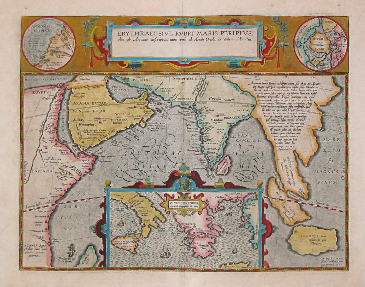
English: Map by Abraham Ortelius, (1527-1598) for the Periplus Maris Erythraei (Περίπλους τὴς Ἐρυθράς Θαλάσσης "Periplus of the Erythraean Sea"), attributed to Arrian. |
|||||||||||||||||||||||
| তারিখ | ||||||||||||||||||||||||
| উৎস | Plate [162] from: Theatrum orbus terrarum / Abraham Ortelius. Antverpiae: Apud Ioannem Bapt. Vrintium, 1609. | |||||||||||||||||||||||
| লেখক |
|
|||||||||||||||||||||||

See also:
লাইসেন্স প্রদান
|
This is a faithful photographic reproduction of a two-dimensional, public domain work of art. The work of art itself is in the public domain for the following reason:
The official position taken by the Wikimedia Foundation is that "faithful reproductions of two-dimensional public domain works of art are public domain".
This photographic reproduction is therefore also considered to be in the public domain in the United States. In other jurisdictions, re-use of this content may be restricted; see Reuse of PD-Art photographs for details. | ||||
ফাইলের ইতিহাস
যেকোনো তারিখ/সময়ে ক্লিক করে দেখুন ফাইলটি তখন কী অবস্থায় ছিল।
| তারিখ/সময় | সংক্ষেপচিত্র | মাত্রা | ব্যবহারকারী | মন্তব্য | |
|---|---|---|---|---|---|
| বর্তমান | ০৮:১০, ২৪ মার্চ ২০০৭ | | ১,৫২৪ × ১,১৯৮ (২৩৯ কিলোবাইট) | World Imaging | Ancient map (17th century) depicting the locations of the Periplus of the Erythraean Sea. |
সংযোগসমূহ
নিচের পৃষ্ঠা(গুলো) থেকে এই ছবিতে সংযোগ আছে:
ফাইলের বৈশ্বিক ব্যবহার
নিচের অন্যান্য উইকিগুলো এই ফাইলটি ব্যবহার করে:
- ar.wikipedia.org-এ ব্যবহার
- as.wikipedia.org-এ ব্যবহার
- br.wikipedia.org-এ ব্যবহার
- ca.wikipedia.org-এ ব্যবহার
- cs.wikipedia.org-এ ব্যবহার
- de.wikipedia.org-এ ব্যবহার
- el.wikipedia.org-এ ব্যবহার
- en.wikipedia.org-এ ব্যবহার
- es.wikipedia.org-এ ব্যবহার
- fa.wikipedia.org-এ ব্যবহার
- fa.wikibooks.org-এ ব্যবহার
- fr.wikipedia.org-এ ব্যবহার
- he.wikipedia.org-এ ব্যবহার
- hif.wikipedia.org-এ ব্যবহার
- hi.wikipedia.org-এ ব্যবহার
- hr.wikipedia.org-এ ব্যবহার
- hu.wikipedia.org-এ ব্যবহার
- ilo.wikipedia.org-এ ব্যবহার
- it.wikipedia.org-এ ব্যবহার
- ja.wikipedia.org-এ ব্যবহার
- la.wikipedia.org-এ ব্যবহার
- no.wikipedia.org-এ ব্যবহার
- oc.wikipedia.org-এ ব্যবহার
- or.wikipedia.org-এ ব্যবহার
- pnb.wikipedia.org-এ ব্যবহার
- ru.wikipedia.org-এ ব্যবহার
- sd.wikipedia.org-এ ব্যবহার
- sh.wikipedia.org-এ ব্যবহার
- simple.wikipedia.org-এ ব্যবহার
- sl.wikipedia.org-এ ব্যবহার
এই ফাইলের অন্যান্য বৈশ্বিক ব্যবহার দেখুন।