চিত্র:Maharastra-stub.svg

পূর্ণ রেজোলিউশন (এসভিজি ফাইল, সাধারণত ১৪৬ × ১২৮ পিক্সেল, ফাইলের আকার: ৮ কিলোবাইট)
| এই ফাইলটি উইকিমিডিয়া কমন্স থেকে নেওয়া। সেখানের বর্ণনা পাতার বিস্তারিত নিম্নে দেখানো হলো। (সম্পাদনা)
|
সারাংশ
| বিবরণ |
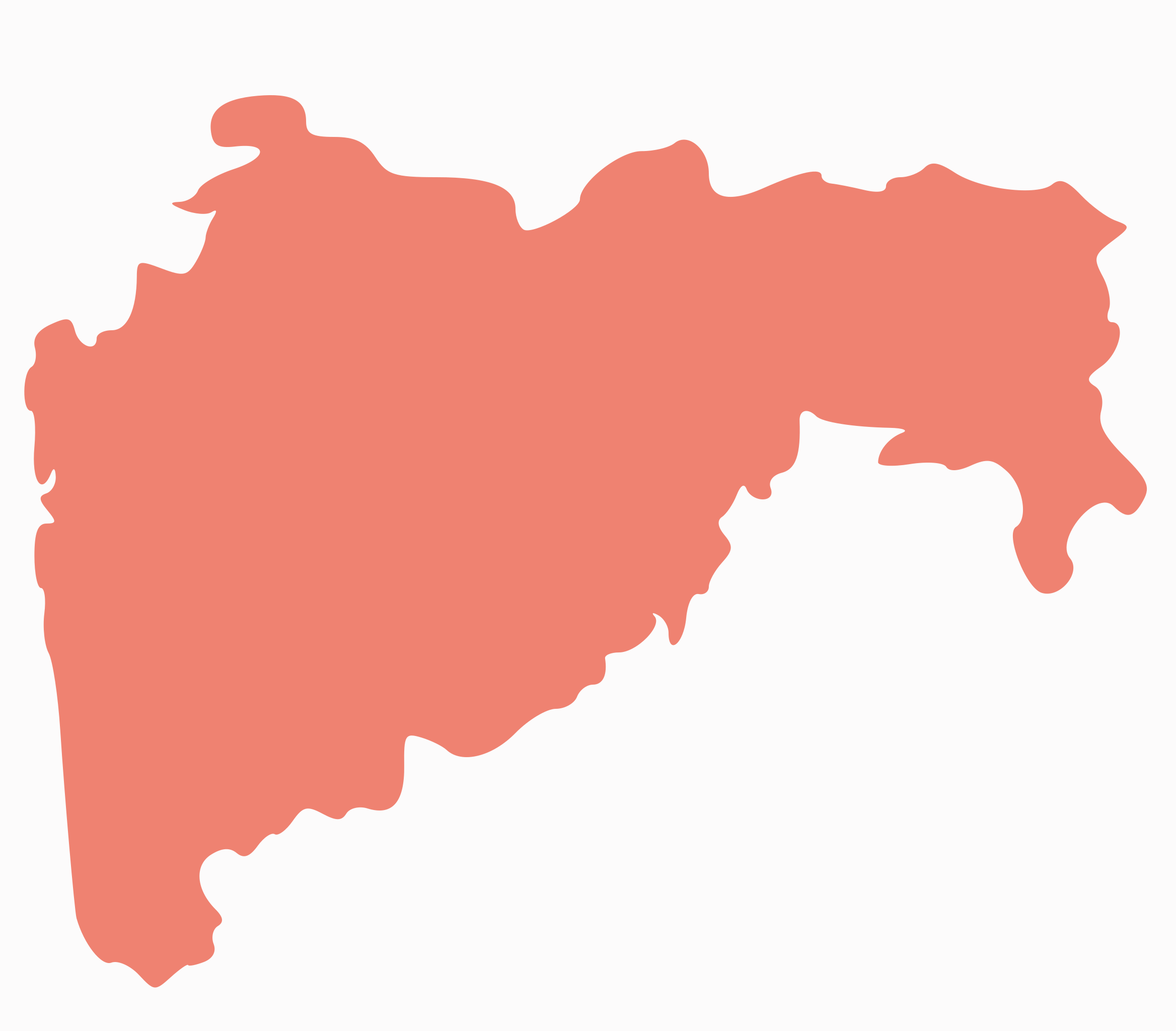
English: Maharastra Outline - usable in stubs on the region. Made by myself based on [[Image:India Maharashtra locator map.svg]] outline |
| তারিখ | |
| উৎস | নিজের কাজ |
| লেখক | RaviC |
Explanation of disputed boundaries
- Boundary of Indian claim : The extent upto which the Indian administration claims as rightfully theirs, but is not recognised by China and Pakistan.
- Line of Control : The defacto boundary recognised by the international community, but not by India, China and Pakistan. This boundary is a temporary solution to the ongoing conflict.
Borders of disputed regions
The extent of Indian territory depicted on this map may not be accepted by some countries as legal due to ongoing border disputes:
- The northern union territories of Jammu and Kashmir and Ladakh are claimed entirely by both India and Pakistan (Azad Kashmir and Gilgit–Baltistan) and partly by China (Aksai Chin). It is currently divided between all three countries. See also Line of Control and Line of Actual Control.
- Siachen Glacier is an actively contested region between India and Pakistan. At present the region is in control of the Indian Army.
- The north eastern state of Arunachal Pradesh is almost entirely claimed by China as part of its territory. The state is recognised as a part of India by every country except China. See also McMahon Line.
Borders of some minor disputed areas have been omitted for the sake of simplicity:
- Minor areas of Ladakh, Himachal Pradesh and Uttarakhand on the Chinese frontier are claimed by China. These areas are under Indian control.
- A small area of Uttarakhand adjoining the Nepal border along the Sarda river is disputed between the two countries.
For a detailed map of all disputed regions in India, see Image:India disputed areas map.svg
Internal borders
The borders of the state of Meghalaya, Assam and Arunachal Pradesh is shown as interpreted from the North-Eastern Areas (Reorganisation) Act, 1971, but has yet to be verified.
Territorial Waters
The limit of the territorial waters of India extends to twelve nautical miles measured from the appropriate baseline. See this for more information.
লাইসেন্স প্রদান
| আমি, এই কাজের স্বত্বাধিকারী, এতদ্দ্বারা আমি এই কাজকে পাবলিক ডোমেইন লাইসেন্সের আওতায় প্রকাশ করলাম। এটি বিশ্বব্যাপী প্রযোজ্য হবে। কিছু দেশে এটি আইনত সিদ্ধ নাও হতে পারে, যদি তাই হয়: আমি যে-কাউকে এই কাজটি যেকোনো উদ্দেশ্যে, বিনাশর্তে ব্যবহারের অনুমতি প্রদান করছি, যদি না সেই শর্তগুলো আইনত প্রয়োজনীয় হয়। |
ফাইলের ইতিহাস
যেকোনো তারিখ/সময়ে ক্লিক করে দেখুন ফাইলটি তখন কী অবস্থায় ছিল।
| তারিখ/সময় | সংক্ষেপচিত্র | মাত্রা | ব্যবহারকারী | মন্তব্য | |
|---|---|---|---|---|---|
| বর্তমান | ১৭:০৬, ১৪ ডিসেম্বর ২০০৮ | | ১৪৬ × ১২৮ (৮ কিলোবাইট) | RaviC | == Summary == {{Information |Description={{en|1=Maharastra Outline - usable in stubs on the region. Made by myself based on <nowiki>Image:India Maharashtra locator map.svg</nowiki> outline}} |Source=Own work by uploader |Author=RaviC | |
সংযোগসমূহ
এই ফাইলের সাথে ১০০টির বেশি পাতার লিংক রয়েছে। নিচের তালিকায় ফাইলের সাথে যুক্ত প্রথম ১০০টি পাতার লিংক দেখানো হচ্চে। এছাড়া একটি পূর্ণাঙ্গ তালিকাও রয়েছে।
- আমালনের
- আম্বরনাথ
- আম্বাদ
- আম্বিওয়ালি টার্ফ ওয়ানখাল
- আম্বেজোগাই
- ইগাটপুরি
- ইচালকরনজি
- ইন্দাপুর
- একলহরা
- এরানদোল
- ওয়াদি (মহারাষ্ট্র)
- কন্নড়, মহারাষ্ট্র
- কল্যান-দোম্বিওয়ালি
- কাগাল
- কাতকার
- কাতাই
- কানকাওলি
- কানধার
- কানহান (পিপরি)
- কান্দারি
- কান্দ্রি, নাগপুর
- কাবনুর
- কাম্পটে, নাগপুর
- কারজাত
- কারমালা
- কারাদ
- কারানজা
- কারানজে টার্ফ সাতারা
- কারামনুরি
- কারিওয়ালি
- কালামেশ্বর
- কালাম্ব
- কালাম্বে টার্ফ থানে
- কালুন্দ্রে
- কাসারা বুদরুক
- গঙ্গাখেদ
- গঙ্গাপুর
- গড়চিরোলি
- গড়হিংলাজ
- গনেমপুর
- গান্ধীনগর, মহারাষ্ট্র
- গুহাগড়
- গেওরায়
- গোখিওয়ারে
- গোদোলি
- গোন্দিয়া
- গোরেগাঁও
- ঘাটানজি
- ঘুগুস
- ঘুলেওয়াদি
- ঘোটি বুদ্রুক
- চিখলি
- চিখালদারা
- চিচোলি
- চিনচানি
- চিপলুন
- চোপদা
- জওহার
- জয়সিংপুর
- জলগাঁও
- জলগাঁও (জমোদ)
- জামখেদ
- জালনা
- জিন্তুর
- জুন্নার
- জেজুরি
- ডহাণু
- দত্তপুর ধামানগাঁও
- দাওয়ালমেতি
- দাপোলি সেনানিবাস
- দারওয়াহা
- দারিয়াপুর বানোসা
- দিগদোহ
- দিগ্রাস
- দুধানি
- দুর্গাপুর, চন্দ্রপুর
- দেউলগাঁও রাজ
- দেওলাই প্রাভরা
- দেওলালি
- দেওলি
- দেওহাদি
- দেগলুর
- দেশাইগঞ্জ
- দেহু
- দেহু সড়ক
- দোনদাইচা-ওয়ারওয়াদে
- দৌন্দ
- ধর্মাবাদ
- ধাতাউ
- ধারানগাঁও
- ধারুর
- ধুলে
- ধ্যানে
- পাতান
- পুল্লাপ মুম্বাই
- ফয়িজপুর
- ভিওয়ান্দি
- রাজপুর
- হাদগাঁও
- হিঙ্গানঘাট
এই ফাইলের আরও লিঙ্ক দেখাও।
ফাইলের বৈশ্বিক ব্যবহার
নিচের অন্যান্য উইকিগুলো এই ফাইলটি ব্যবহার করে:
- en.wikipedia.org-এ ব্যবহার
- State Highway 42 (Maharashtra)
- Template:Maharashtra State Highways
- State Highway 10 (Maharashtra)
- State Highway 151 (Maharashtra)
- State Highway 173 (Maharashtra)
- State Highway 194 (Maharashtra)
- State Highway 195 (Maharashtra)
- State Highway 1 (Maharashtra)
- Major State Highway 1 (Maharashtra)
- State Highway 2 (Maharashtra)
- State Highway 196 (Maharashtra)
- State Highway 134 (Maharashtra)
- State Highway 248 (Maharashtra)
- State Highway 246 (Maharashtra)
- State Highway 247 (Maharashtra)
- State Highway 245 (Maharashtra)
- State Highway 249 (Maharashtra)
- State Highway 253 (Maharashtra)
- State Highway 265 (Maharashtra)
- State Highway 266 (Maharashtra)
- State Highway 255 (Maharashtra)
- Major State Highway 9 (Maharashtra)
- Major State Highway 3 (Maharashtra)
- Major State Highway 10 (Maharashtra)
- State Highway 250 (Maharashtra)
- State Highway 190 (Maharashtra)
- mr.wikipedia.org-এ ব্যবহার
- राज्य महामार्ग १० (महाराष्ट्र)
- साचा:महाराष्ट्र राज्य महामार्ग
- राज्य महामार्ग ११५ (महाराष्ट्र)
- प्रमुख राज्य महामार्ग १ (महाराष्ट्र)
- प्रमुख राज्य महामार्ग २ (महाराष्ट्र)
- राज्य महामार्ग २१ (महाराष्ट्र)
- राज्य महामार्ग ४४ (महाराष्ट्र)
- राज्य महामार्ग १६२ (महाराष्ट्र)
- राज्य महामार्ग १६९ (महाराष्ट्र)
- राज्य महामार्ग १६८ (महाराष्ट्र)