চিত্র:Arabian Peninsula (orthographic projection).png

এই প্রাকদর্শনের আকার: ৬০০ × ৬০০ পিক্সেল। অন্যান্য আকারসমূহ: ২৪০ × ২৪০ পিক্সেল | ৪৮০ × ৪৮০ পিক্সেল | ৭৬৮ × ৭৬৮ পিক্সেল | ১,০২৪ × ১,০২৪ পিক্সেল | ২,০০০ × ২,০০০ পিক্সেল।
পূর্ণ রেজোলিউশন (২,০০০ × ২,০০০ পিক্সেল, ফাইলের আকার: ৬৬৬ কিলোবাইট, এমআইএমই ধরন: image/png)
| এই ফাইলটি উইকিমিডিয়া কমন্স থেকে নেওয়া। সেখানের বর্ণনা পাতার বিস্তারিত নিম্নে দেখানো হলো। (সম্পাদনা)
|
.png?uselang=bn)
.png&action=edit)
সারাংশ
| বিবরণ |
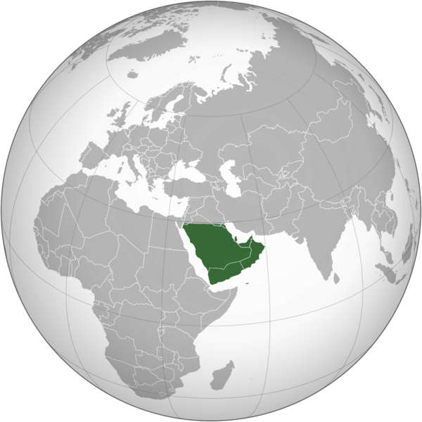
English: The Arabian Peninsula العربية: شبه الجزيرة العربية |
| তারিখ | |
| উৎস | নিজের কাজ |
| লেখক | Afrogindahood |
লাইসেন্স প্রদান
| This map is ineligible for copyright and therefore in the public domain, because it consists entirely of information that is common property and contains no original authorship. For more information, see Commons:Threshold of originality § Maps.
|
ফাইলের ইতিহাস
যেকোনো তারিখ/সময়ে ক্লিক করে দেখুন ফাইলটি তখন কী অবস্থায় ছিল।
| তারিখ/সময় | সংক্ষেপচিত্র | মাত্রা | ব্যবহারকারী | মন্তব্য | |
|---|---|---|---|---|---|
| বর্তমান | ১৪:১৪, ৭ মার্চ ২০২৩ | | ২,০০০ × ২,০০০ (৬৬৬ কিলোবাইট) | Treetoes023 | Reverted to version as of 23:11, 6 January 2020 (UTC): This version shows the geographic Arabian Peninsula. |
| ২১:২৪, ২৪ জানুয়ারি ২০২০ |  | ২,০০০ × ২,০০০ (৩৯৯ কিলোবাইট) | Ham105 | Reverted to version as of 03:49, 7 March 2015 (UTC) | |
| ২৩:১১, ৬ জানুয়ারি ২০২০ |  | ২,০০০ × ২,০০০ (৬৬৬ কিলোবাইট) | Sariyr | Reverted to version as of 22:23, 4 January 2020 (UTC): Northern border line between the Gulf of Aqaba and the Kuwait Bay. | |
| ০৪:০৬, ৫ জানুয়ারি ২০২০ |  | ২,০০০ × ২,০০০ (৩৯৯ কিলোবাইট) | Ham105 | Reverted to version as of 03:49, 7 March 2015 (UTC) unsourced - take it to the discussion page | |
| ২২:২৩, ৪ জানুয়ারি ২০২০ |  | ২,০০০ × ২,০০০ (৬৬৬ কিলোবাইট) | Sariyr | Reverted to version as of 02:46, 4 January 2020 (UTC): Northern border line between the Gulf of Akaba an the Kuwait Bay. | |
| ১৫:৩৭, ৪ জানুয়ারি ২০২০ |  | ২,০০০ × ২,০০০ (৩৯৯ কিলোবাইট) | Ham105 | Reverted to version as of 03:49, 7 March 2015 (UTC) | |
| ০২:৪৬, ৪ জানুয়ারি ২০২০ |  | ২,০০০ × ২,০০০ (৬৬৬ কিলোবাইট) | Sariyr | Northern border line between the Gulf of Akaba an the Kuwait Bay. | |
| ০৩:৪৯, ৭ মার্চ ২০১৫ |  | ২,০০০ × ২,০০০ (৩৯৯ কিলোবাইট) | Afrogindahood | User created page with UploadWizard |
সংযোগসমূহ
নিচের পৃষ্ঠা(গুলো) থেকে এই ছবিতে সংযোগ আছে:
ফাইলের বৈশ্বিক ব্যবহার
নিচের অন্যান্য উইকিগুলো এই ফাইলটি ব্যবহার করে:
- ar.wikipedia.org-এ ব্যবহার
- arz.wikipedia.org-এ ব্যবহার
- azb.wikipedia.org-এ ব্যবহার
- ckb.wikipedia.org-এ ব্যবহার
- cs.wikipedia.org-এ ব্যবহার
- el.wikiversity.org-এ ব্যবহার
- en.wikipedia.org-এ ব্যবহার
- fa.wikipedia.org-এ ব্যবহার
- he.wikipedia.org-এ ব্যবহার
- hy.wikipedia.org-এ ব্যবহার
- hyw.wikipedia.org-এ ব্যবহার
- id.wikipedia.org-এ ব্যবহার
- it.wikivoyage.org-এ ব্যবহার
- kn.wikipedia.org-এ ব্যবহার
- mrj.wikipedia.org-এ ব্যবহার
- pnb.wikipedia.org-এ ব্যবহার
- ps.wikipedia.org-এ ব্যবহার
- pt.wikipedia.org-এ ব্যবহার
- sc.wikipedia.org-এ ব্যবহার
- si.wikipedia.org-এ ব্যবহার
- sl.wikipedia.org-এ ব্যবহার
- sr.wikipedia.org-এ ব্যবহার
- th.wikipedia.org-এ ব্যবহার
- ur.wikipedia.org-এ ব্যবহার
- uz.wikipedia.org-এ ব্যবহার
- vi.wikipedia.org-এ ব্যবহার
.png)